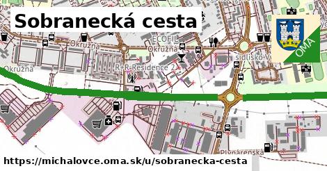
Viac
Viac info:
aktualizovať mapu,
uprav v JOSM (pokročilé),
235537504,
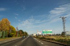
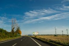
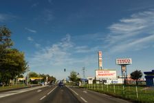
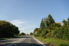
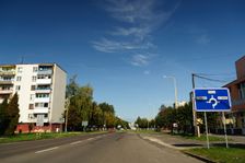
stiahni GPX, oblast id: 2386541, dlzka: 2537, oblast name: Michalovce, oblast asci: michalovce, psc: {7101}, obce:
Slovensko,
Východné Slovensko,
Košický kraj,
Východoslovenská rovina,
okres Michalovce,
Michalovce, lon: 21.91998943279853, lat: 48.74577458360478, lit: yes, lanes: 4, oneway: yes, int ref: E 50;E 58, old ref: 50, abutters: residential, maxspeed: 50, smoothness: excellent, turn:lanes: through|merge to left, osm version: 9, lanes:forward: 2, osm changeset: 0, osm timestamp: 2025 01 11T09:54:34Z, lanes:backward: 2, source:maxspeed: SK:urban, SO|SO, through|slight right, through|merge to left, not left|yes, not left|yes, KE|VT|MI,